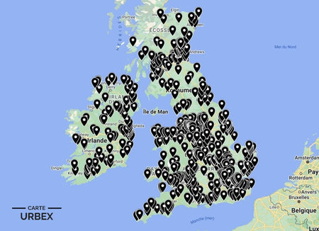
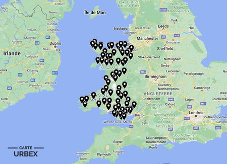
The Abandoned Places Map UK is the most comprehensive GPS map of verified derelict and abandoned locations across England, Scotland, Wales and Ireland — 640+ locations covering hospitals, asylums, collieries, mills, military sites, country houses and everything in between. Every location has been verified as currently abandoned, with access ratings, condition reports and explorer reviews.

Abandoned Places Map UK — Full Collection
- ✓ 640+ GPS locations — England, Scotland, Wales & Ireland
- ✓ Access ratings and condition reports for every location
- ✓ Instant access after purchase
- ✓ Free updates forever
19,99€
Get the Full UK Map →What's Included in the Abandoned Places Map UK
The UK map covers all four nations — England, Scotland, Wales and Ireland — with verified GPS coordinates for every location. Each entry includes an access rating (freely accessible through to challenging), a current condition report and notes from explorers who have visited the site. The map is updated regularly as new locations are verified and as existing locations change status.
Categories covered include: Victorian and 20th-century hospitals and asylums; coal mines and collieries; textile mills and factories; country houses and estates; WWII airfields and military sites; Palmerston and coastal forts; medieval castle ruins; derelict churches and chapels; abandoned railway infrastructure; derelict industrial complexes.
Maps Available by Country

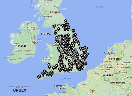
🏴 England
400+ GPS locations
14,99€
View Map →
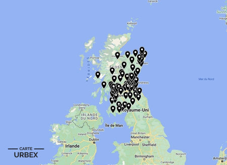
🏴 Scotland
80+ GPS locations
9,99€
View Map →
🏴 Wales
60+ GPS locations
9,99€
View Map →
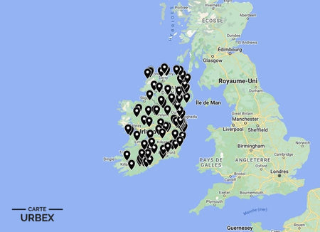
🇮🇪 Ireland
100+ GPS locations
9,99€
View Map →Why Use Our Abandoned Places Map?
Verified abandoned locations only. Every GPS location on our map has been verified as currently abandoned — not converted, not partially active, not demolished. We eliminate the wasted journeys that come with crowd-sourced lists that mix active and derelict sites.
Access ratings for every location. Each entry is rated from freely accessible through to challenging — so you can choose locations appropriate to your experience level and preparation.
Condition reports. Current condition information for every location, including structural risk notes, asbestos risk and photography quality assessment.
Exclusive locations. A significant proportion of our locations are not documented anywhere else online — discovered through systematic satellite research, local knowledge and on-the-ground verification.
Instant access and free updates. Download immediately after purchase. As new locations are verified and existing locations change status, your map is updated at no additional charge.
❓ Frequently Asked Questions
How many locations are on the UK map?
640+ verified GPS locations across England, Scotland, Wales and Ireland — covering hospitals, asylums, collieries, mills, country houses, military sites and more.
How do I access the map after purchase?
Instant download after payment — compatible with Google Maps, Maps.me and all standard GPS apps. No subscription required.
Are the locations definitely abandoned?
Every location is verified as currently abandoned at the time of listing. We do not include museums, converted buildings, sites open to the public or demolished locations.
Is urban exploration legal in the UK?
Trespassing in England and Wales is a civil matter, not a criminal offence in most circumstances. Always explore responsibly: take nothing, damage nothing, leave nothing. In Scotland, the Land Reform Act 2003 grants significant access rights to land including derelict buildings.
What safety equipment do I need?
FFP2 or FFP3 mask (asbestos risk in any pre-1980 building), robust footwear, gloves, two independent light sources, mobile phone with charge. Never explore alone.