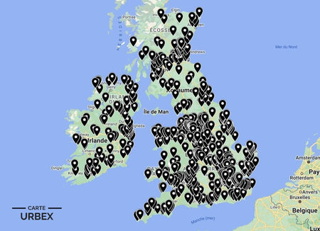
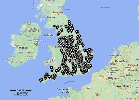
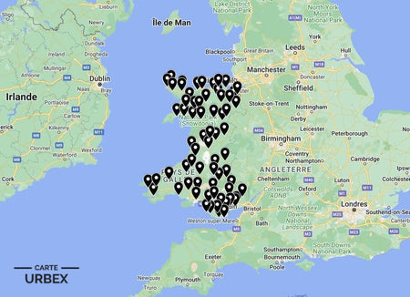
Hull — Kingston upon Hull — is England's great forgotten city, a port whose trawler fleets once made it the world's leading distant-water fishing centre and whose bomb-damaged Victorian terraces, derelict dock infrastructure and atmospheric East Yorkshire hinterland create one of the most distinctive and most underrated urbex landscapes in northern England. The Cod Wars of the 1970s ended the trawler industry; the docks that followed the fishing trade into decline left the St Andrew's waterfront as one of the most poignantly atmospheric pieces of abandoned maritime heritage in Britain. Here are 5 of the best abandoned places in Hull, selected from our Abandoned Places Map UK — 640+ GPS locations across England, Scotland, Wales and Ireland.
Why Hull Is a Hidden Gem for Urban Exploration
Hull's urbex community is small but exceptionally dedicated — the city's relative isolation and its underdog civic identity have produced a community of explorers who know its derelict landscape in extraordinary depth. The St Andrew's Dock waterfront, the East Hull industrial corridor and the Holderness countryside's abandoned farmsteads and estate buildings create three entirely different urbex environments within easy reach of the city centre.
1. Lord Line Buildings – St Andrew's Dock, Hull — 1949 Trawler Company HQ, Abandoned Since 1975, Derelict Since 1990, One of Hull's Most Iconic Urbex Sites, Documented December 2024 on 28DaysLater (Known Location)
The Lord Line Buildings at St Andrew's Dock opened in 1949 as the headquarters of one of Hull's major deep-sea trawler companies — arranged around St Andrew's Dock, originally constructed in 1883 for the coal trade. The Cod Wars with Iceland decimated Hull's distant-water fishing fleet through the 1970s; Lord Line ceased using the buildings in 1975. By 1990 all former Lord Line buildings were derelict, and they have remained so ever since — one of the longest-running and most consistently documented abandoned maritime sites in Britain. Explored and reported on 28DaysLater as recently as December 2024.
🔗 Learn more: Wikipedia – Lord Line Hull
2. Earle's Shipyard – Victoria Dock, Hull — 19th-20th Century Shipyard, Slipways and Engineering Buildings, Humber Waterfront (Known Location)
Earle's Shipyard on Hull's Victoria Dock was one of the city's principal shipbuilding establishments — the slipways from which hulls were launched into the Humber, the engineering and fitting-out buildings and the waterfront infrastructure of a yard that built ships for the North Sea and beyond. Hull's shipbuilding industry declined through the mid-20th century in parallel with the trawler fleet; the derelict shipyard infrastructure on the Humber waterfront documents the full scope of the city's maritime industrial decline.
🔗 Also read: Top 5 Abandoned Places in England →

3. Rank Flour Mills – Hull Docks — 1934 Joseph Rank Mill, WWII Bomb-Damaged, Rebuilt 1950, Derelict Since Industrial Restructuring, Documented on 28DaysLater (Known Location)
The Rank Flour Mills in Hull's dock area were built in 1934 on reclaimed dock land by Joseph Rank — the mill was seriously damaged in the Hull Blitz during WWII but rebuilt and returned to operation by 1950. The interior was remodelled several times before the mill became derelict following industrial restructuring. Documented on 28DaysLater by Hull explorers as one of the most complex and most historically layered industrial spaces in the dock area — a building whose fabric carries the marks of its pre-war construction, WWII damage and post-war reconstruction in a single building.
🔗 Learn more: 28DaysLater – Hull Urbex Reports
4. Holderness Georgian Farmstead – 18th-19th Century East Yorkshire Brick and Pantile Farm, Threshing Barn and Granary, Flat Holderness Landscape (Only on Our Map)
An 18th-19th century Holderness farmstead in the flat East Yorkshire landscape east of Hull — the original brick-built farmhouse, the threshing barn with opposing cart doors, the granary on staddle stones and the characteristic red pantile roofing of East Yorkshire agricultural architecture. Holderness farming consolidation progressively emptied smaller holdings through the 20th century; the flat, exposed landscape means the abandoned farmsteads are visible from remarkable distances across the plain. GPS coordinates available with our England Urbex Map.
5. East Riding Country House – Georgian Mansion, Grand Staircase and Library Intact, Stable Block and Walled Garden, East Yorkshire Wolds (Our Map Exclusive)
A Georgian country house on the East Yorkshire Wolds — the original grand staircase still intact, the library with period shelving and the servants' wing with its bells and call board. The stable block and walled kitchen garden still stand in the overgrown grounds of an estate that post-war death duties rendered unviable within a decade of 1945. Included in our England collection — 400+ locations.
Safety Tips
- Waterfront hazards: Hull's dock sites have unstable quayside edges and tidal Humber exposure — never approach water edges and always assess ground stability near dock infrastructure
- Asbestos: universal in pre-1980 Hull industrial and dock buildings — FFP2 mask mandatory in any enclosed space
- Never explore alone — always bring at least one other person
The urbex code: "Take nothing but photographs, leave nothing but footprints."
❓ FAQ
What is the most famous abandoned place in Hull?
The Lord Line Buildings at St Andrew's Dock — the 1949 trawler company headquarters derelict since 1975, documented on 28DaysLater as recently as December 2024. One of the most poignantly atmospheric and most consistently visited abandoned maritime sites in Britain.
What caused Hull's fishing industry to collapse?
The Cod Wars — three successive disputes with Iceland between 1958 and 1976 that progressively excluded British trawlers from Icelandic fishing grounds. The final Cod War settlement of 1976 effectively ended Hull's distant-water fishing industry within a decade, the most rapid and most complete industrial collapse suffered by any British port city in the 20th century.
Was Hull badly bombed in WWII?
Hull was the most heavily bombed British city outside London — 95% of its housing was damaged or destroyed, making it proportionally the most severely damaged major British city. The Hull Blitz of May 1941 was the city's most severe raid; the Rank Flour Mills were among the industrial buildings damaged and later rebuilt. Hull's WWII experience shaped its physical and social character in ways still visible today.
🎯 Summary
Hull's abandoned places range from the Lord Line trawler headquarters derelict since 1975 — explored on 28DaysLater in December 2024 — to a WWII bomb-damaged flour mill rebuilt in 1950 and now returning to decay and a Holderness pantile farmstead visible across miles of flat East Yorkshire plain. Each of these 5 derelict buildings in Hull captures a different layer of England's most underrated port city.

Abandoned Places Map England
- ✓ 400+ GPS locations across England
- ✓ Exclusive locations not found anywhere else
- ✓ Instant access after purchase
- ✓ Free updates forever
14,99€
Explore All Locations →