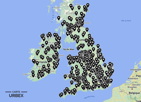
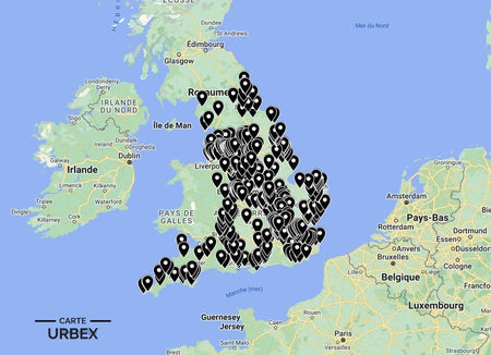
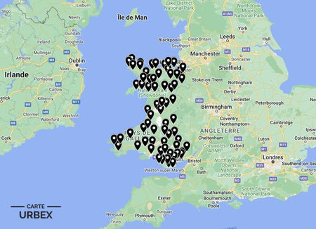
Somerset is England's most mythologised county — King Arthur's Avalon, the Somerset Levels' fog-shrouded peat moors and the Quantock Hills' medieval deer parks create a landscape saturated with the atmosphere of the long-abandoned. Its urbex places match that atmosphere: a Victorian psychiatric hospital whose wings spread across the Somerset countryside, a WWII airfield built in the cider apple orchards of the Levels and a medieval hilltop chapel ruin above the Somerset marshes. Here are 5 of the best abandoned places in Somerset, selected from our Abandoned Places Map UK — 640+ GPS locations across England, Scotland, Wales and Ireland.
Why Somerset Is a Hidden Gem for Urban Exploration
Somerset's urbex landscape is shaped by the county's combination of rural isolation and extraordinary historical depth — the Somerset Levels' fog and peat landscape preserves abandoned structures in remarkable atmospheric conditions, and the county's relative distance from urban centres means its abandoned buildings are significantly underdocumented. The Victorian institutional heritage of Taunton and Wells adds a layer of civic and ecclesiastical abandonment to a county whose medieval and prehistoric heritage is already world-famous.
1. Barrow Gurney Hospital – Barrow Gurney, Somerset — 1848 Bristol Lunatic Asylum, Victorian Gothic Campus, Sections in Dereliction After NHS Consolidation (Known Location)
Barrow Gurney Hospital near Bristol opened in 1848 as the Bristol Lunatic Asylum — a Victorian Gothic psychiatric campus whose administrative block, ward buildings and chapel served the Bristol and Somerset psychiatric population for well over a century. Progressive NHS service consolidation has emptied sections of the original campus; the Victorian Gothic institutional architecture in progressive atmospheric dereliction in the North Somerset countryside creates one of the most visually striking abandoned hospital settings in the west of England.
🔗 Learn more: Wikipedia – Barrow Gurney Hospital Somerset
2. RAF Merryfield – Isle Abbotts, Somerset — 1943-1946 WWII Airfield, USAAF Transport and Glider Station, Control Tower and Technical Buildings, Somerset Levels Setting (Known Location)
RAF Merryfield at Isle Abbotts was built in 1943 as a WWII transport and glider station in the Somerset Levels — a flat agricultural landscape that provided ideal airfield terrain above the peat moor. The station is still used for helicopter training, but the original 1943 control tower and WWII technical site buildings stand in atmospheric dereliction on the airfield perimeter. The Somerset Levels setting — with the distinctive silhouette of Burrow Mump visible across the Levels from the airfield — makes Merryfield one of the most atmospherically distinctive derelict WWII airfield sites in the south-west.
🔗 Also read: Top 5 Abandoned Places in England →

3. Burrow Mump Chapel – Burrow Bridge, Somerset — 12th-Century Hilltop Chapel, Roofless Ruin Above the Somerset Levels, Listed by Historic England (Known Location)
Burrow Mump is a natural hillock rising above the Somerset Levels — its summit crowned by the atmospheric roofless ruin of a 12th-century chapel whose walls still stand above the peat moor landscape. The Mump was a significant strategic site from the Saxon era — King Alfred is said to have used it as a defensive position during the Danish invasions. The chapel ruin, visible for miles across the flat Levels landscape, is one of the most dramatically sited medieval ruins in Somerset. Listed by Historic England; the Somerset Levels fog and the Burrow Mump silhouette create one of the most photographically distinctive abandoned heritage landscapes in England.
🔗 Learn more: Historic England – Burrow Mump Somerset
4. Somerset Victorian Wool Factory – 1840s-1870s Woollen Mill, Weave Shed and Dyehouse, Quantock Hills Setting (Hidden Gem — Our Map Only)
An 1840s-1870s woollen mill in the Quantock Hills foothills — the original weave shed with north-light sawtooth roof, the dyehouse where Somerset cloth was coloured and the millpond and goyt still intact in the valley setting. Somerset's woollen industry was the oldest in England; the Quantock and Mendip valley mills are among the earliest and most historically specific pieces of textile industrial archaeology in the country. GPS coordinates available with our England Urbex Map.
5. Somerset Levels Peat Farmstead – 18th-19th Century Peat-Cutting Smallholding, Rhyne-Side Setting, Turf Cutting Infrastructure, Somerset Levels (Off the Radar — Our Map Only)
An 18th-19th century peat-cutting smallholding in the Somerset Levels — the original farmhouse built on an island of higher ground, the rhyne drainage channels still running beside the peat moor and the turf-cutting infrastructure of a rural economy that has been practised on the Levels since Roman times. The Somerset Levels' peat smallholdings are among the most unusual and most rapidly disappearing pieces of wetland agricultural heritage in England. Included in our England collection — 400+ locations.
❓ FAQ
What is the most famous abandoned place in Somerset?
Burrow Mump chapel — a 12th-century hilltop chapel ruin rising above the Somerset Levels, visible for miles across the flat peat moor landscape. Listed by Historic England; the Levels fog and the Burrow Mump silhouette are among the most photographically distinctive pieces of medieval abandoned heritage in the south-west.
What was Barrow Gurney Hospital?
The 1848 Bristol Lunatic Asylum in North Somerset — a Victorian Gothic psychiatric campus whose administrative block, ward buildings and chapel served the Bristol and Somerset psychiatric population for well over a century. Sections remain in atmospheric dereliction as NHS services have been consolidated elsewhere.
Was King Arthur real — and was Avalon in Somerset?
The historical Arthur — if he existed — was most likely a 5th-6th century war leader of post-Roman Britain. The Glastonbury association with Avalon dates from a 12th-century claim by the monks that they had discovered Arthur's grave; most historians regard this as a medieval invention. The landscape, however, is genuinely extraordinary — the Somerset Levels' fog, the Glastonbury Tor and the region's deep mythological resonance create an atmosphere that the Arthurian legend fits perfectly.
Safety Tips
- Wetland hazards: the Somerset Levels' peat moors have concealed drainage rhynes and soft ground — never walk across open peat without a path and always test ground before stepping away from established tracks
- Asbestos: endemic in pre-1980 Somerset hospital and military buildings — FFP2 mask mandatory in any enclosed space
- Never explore alone — always bring at least one other person
The urbex code: "Take nothing but photographs, leave nothing but footprints."
🎯 Summary
Somerset's abandoned places range from a Victorian Gothic asylum in the North Somerset countryside to a 12th-century chapel ruin visible for miles above the peat moors and a WWII airfield whose original control tower still stands in the cider apple landscape of the Levels. Each of these 5 derelict buildings in Somerset captures a different layer of England's most mythologised and most atmospherically distinctive county.

Abandoned Places Map England
- ✓ 400+ GPS locations across England
- ✓ Exclusive locations not found anywhere else
- ✓ Instant access after purchase
- ✓ Free updates forever
14,99€
Explore All Locations →