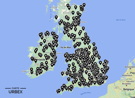
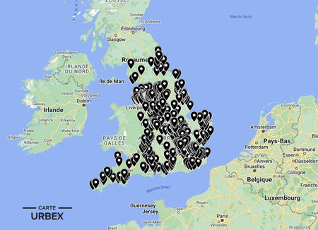
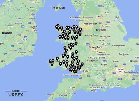
Essex sits at the eastern gateway to London — a county of Thames estuary fortifications, Cold War secret bunkers and the post-industrial Thames corridor whose abandoned warehouses and power stations define one of the most distinctive urbex landscapes in southern England. Here are 5 of the best abandoned places in Essex, selected from our Abandoned Places Map UK — 640+ GPS locations across England, Scotland, Wales and Ireland.
Why Essex Is a Hidden Gem for Urban Exploration
Essex is consistently underrated in UK urbex circles — most explorers drive through it to get to London or Norfolk. But the Thames estuary corridor contains three centuries of defence infrastructure, the most complete Cold War government bunker in England and a rural hinterland of abandoned farmsteads and country houses that never make national lists. The county's proximity to London means it gets overlooked precisely because people assume it has been developed over.
1. Coalhouse Fort – East Tilbury, Essex — 1861 Thames Estuary Defence Fort, Napoleon III Threat, Used in Both World Wars, Heritage Site (Known Location)
Coalhouse Fort at East Tilbury was built in 1861 to defend the Thames estuary against the threat of French naval attack under Napoleon III — a polygonal earthwork fort with brick casemates for heavy guns covering the river approach to London. Used in both World Wars for anti-aircraft and coastal defence, the fort was decommissioned after WWII. The thick stone walls, empty gun locations, underground magazines and dark brick casemate tunnels create an extraordinarily atmospheric military heritage site.
🔗 Learn more: Wikipedia – Coalhouse Fort
2. Kelvedon Hatch Secret Nuclear Bunker – Brentwood, Essex — Cold War ROTOR Bunker, 3 Storeys Underground, Built to House Government During Nuclear War (Known Location)
The Kelvedon Hatch Secret Nuclear Bunker is one of the most extraordinary Cold War sites in Britain — a three-storey underground facility built in 1952-1953 as part of the ROTOR radar network, later redesignated as a Regional Government Headquarters capable of housing 600 government and military personnel during a nuclear war. The bunker descends 30 metres below the Essex countryside; the operations rooms, dormitories, BBC studio and government chambers are preserved exactly as they were left when the Cold War ended.
🔗 Also read: Top 5 Abandoned Places in England →

3. Abandoned Thames Estuary Grain Terminal – 1950s-1970s Bulk Grain Handling Complex, Concrete Elevator Silos and Conveyor Gantries Still Standing Above the River, Essex Shore (Exclusively on Our Map)
A 1950s-1970s bulk grain terminal on the Essex Thames shore — the original concrete elevator silos rising above the river bank, the overhead conveyor gantry system linking silos to the ship loading berths and the control building with period equipment still in place. Essex's Thames shore handled grain imports from North America and Australia for decades; when bulk handling consolidated, smaller operations were decommissioned and left. Discover its exact location on our England Urbex Map.
4. Abandoned Essex Victorian Asylum – 1850s-1870s Kirkbride Campus, Gothic Tower Visible Across the Essex Countryside, Chapel with Stained Glass and Airing Courts Intact (Exclusively on Our Map)
An 1850s-1870s Kirkbride-plan psychiatric asylum in Essex — the Gothic administrative tower still visible for miles across the flat Essex countryside, the chapel retaining original stained glass windows and timber pews and the enclosed airing courts where patients walked year-round. Closed by deinstitutionalisation and left in progressive atmospheric decay. GPS coordinates available with our England Urbex Map.
5. Abandoned Essex Georgian Farmhouse – 18th-Century Weatherboard Farmstead, Barn and Cart Lodge Still Standing, Rural North Essex (Only on Our Map)
An 18th-century Essex weatherboard farmstead in rural North Essex — the original timber-frame farmhouse with distinctive Essex weatherboard cladding, the threshing barn with its pair of opposing cart doors and the cart lodge still standing in the farmyard. Essex's agricultural consolidation progressively emptied smaller farmsteads; the distinctive weatherboard construction preserves them in the county's relatively dry climate. Find it on our map — with access rating and condition report.
Safety Tips
- Thames tidal zone: the Essex Thames shore is tidal with unstable mudflat edges — never approach the riverbank without checking tidal conditions and never walk on Thames mud under any circumstances
- Asbestos: universal in pre-1980 Essex industrial and institutional buildings — always wear an FFP2 mask in any enclosed space
- Never explore alone — always bring at least one other person
The urbex code: "Leave it as you found it — the next explorer deserves the same experience."
❓ FAQ
What is the most famous abandoned place in Essex?
Kelvedon Hatch Secret Nuclear Bunker near Brentwood — a three-storey underground Cold War facility built in 1952-1953 to house 600 government personnel during a nuclear war, with operations rooms, BBC studio and government chambers preserved exactly as left.
What is Coalhouse Fort?
A polygonal earthwork fort built in 1861 at East Tilbury to defend the Thames estuary against French naval attack. Used in both World Wars; the casemate tunnels, gun positions and underground magazines create one of the most atmospherically complete Victorian military sites in Essex.
Why does Essex have a Cold War nuclear bunker?
Essex's proximity to London made it a key location for government emergency infrastructure. Kelvedon Hatch was built as part of the ROTOR early warning radar network in 1952-1953 and later redesignated as a Regional Government HQ designed to allow government to continue functioning after a nuclear strike on London.
🎯 Summary
Essex's abandoned places range from a Victorian Thames estuary fort built against Napoleon III to a Cold War nuclear bunker 30 metres underground and Thames shore grain silos that handled imports from three continents. Each of these 5 derelict buildings in Essex captures a different layer of the county that guards London's eastern approach.

Abandoned Places Map England
- ✓ 400+ GPS locations across England
- ✓ Exclusive locations not found anywhere else
- ✓ Instant access after purchase
- ✓ Free updates forever
€14.99
Explore All Locations →