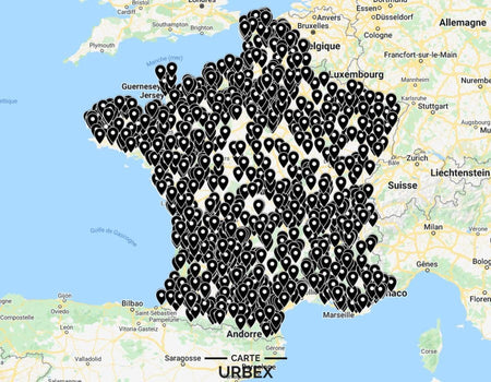
Urbex Map Hauts-de-France
• Plus de 450 lieux abandonnés
• Accès immédiat après achat
• Lieux exclusifs (Châteaux, Manoirs..)
• Mises à jour gratuites à vie
Hauts-de-France Urbex Map 2026
The Hauts-de-France Urbex Map 2026 gives you access to more than 450 GPS coordinates for abandoned places, gathered through years of research and scouting across the region’s 5 departments. The go-to guide for your urban exploration outings and urbex photography.
You also get access to our VIP locations, exceptional spots reserved for our members.
The Hauts-de-France urbex map is constantly evolving: we regularly add new locations and update the status of each site, so you can count on reliable explorations.
All the departments together on one map: much better value than buying all five departmental maps.
Abandoned places in the region
◉ Castles - Manor houses - Villas - Sanatoriums
◉ Houses - Schools - Hotels - Restaurants
◉ Churches - Cinemas - Nightclubs - Hospitals
◉ Factories - Train stations - Barracks - Bunkers
Get your map instantly
No waiting after purchase: our automated system emails you the map as soon as your order is confirmed. You can then open it in Google Maps or Google Earth on your phone or computer.
Each spot is marked with its precise GPS coordinates, so you can quickly find places near you and visit several locations in a single day.
Free, unlimited updates
Your map stays up to date: you receive all updates free for life. By email, you’ll discover new urbex spots in Hauts-de-France and be kept informed about places that have closed, been secured, or demolished.
These updates are based on feedback from our members, information from our partners, and our own explorations. Has a place been renovated or demolished? Send us proof (photos, a press article, etc.) and you’ll receive 2 free locations of your choice.
Want to explore somewhere else?
Discover our urbex maps for Normandy, Île-de-France, and Grand Est, or cross the border with our Belgium map.