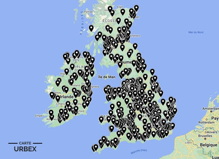
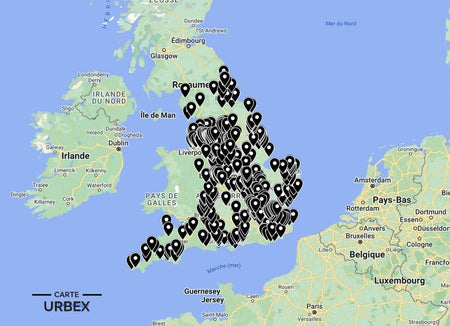
Norfolk's abandoned landscape is shaped by two forces above all others — the RAF and the sea. The county's flat agricultural terrain made it the ideal location for WWII bomber and fighter stations, and Norfolk had more operational airfields per square mile than anywhere else in England. Combined with the coastal ruins of a shoreline that erodes faster than almost any other in Europe and the medieval church heritage of a county that built more parish churches per head than anywhere in England, Norfolk offers one of the most varied abandoned landscapes in the east of England. Here are 5 of the best abandoned places in Norfolk, selected from our Abandoned Places Map UK — 640+ GPS locations across England, Scotland, Wales and Ireland.
Why Norfolk Is a Hidden Gem for Urban Exploration
Norfolk's urbex density is defined by its WWII airfield legacy — over forty airfields were built across the county between 1939 and 1945, and many retain control towers, dispersal pans and technical site buildings in various states of atmospheric dereliction. Beyond the airfields, the Norfolk Broads contain the most concentrated landscape of abandoned drainage mills in England, and the medieval church ruins scattered across the north Norfolk plateau are some of the most atmospheric ecclesiastical ruins in the country.
1. RAF Coltishall – Coltishall, Norfolk — 1940 Fighter Station, Battle of Britain Base, Decommissioned 2006, Hangars and Control Tower Still Standing (Known Location)
RAF Coltishall near Norwich was one of the most operationally important fighter stations in East Anglia — opened in 1940 at the height of the Battle of Britain, hosting squadrons through WWII and continuing through the Cold War as a Jaguar and then Tornado base until decommissioning in 2006. The original hangars, the control tower and the barrack infrastructure still stand across the former station site in various states of atmospheric dereliction. One of the largest and most completely surviving decommissioned RAF stations in England — a Cold War time capsule in the Norfolk countryside.
🔗 Learn more: Wikipedia – RAF Coltishall
2. St Mary's Church – East Somerton, Norfolk — 15th-Century Ruined Church, Roof Collapsed, Tree Growing Through the Nave, Atmospheric Woodland Setting (Known Location)
St Mary's Church at East Somerton is one of the most hauntingly beautiful medieval ruins in Norfolk — a 15th-century parish church whose roof collapsed centuries ago, leaving the flint walls standing above an interior where a large tree has grown up through the nave floor and now fills the space the congregation once occupied. The combination of the medieval flint construction, the collapsed roof, the tree-filled interior and the quiet countryside setting make St Mary's one of the most photographically extraordinary abandoned churches in England.
🔗 Also read: Top 5 Abandoned Places in England →

3. Brograve Mill – Horsey, Norfolk Broads — 1771 Grade II Listed Drainage Mill, Abandoned Since 1930, Leaning Tower, Norfolk Broads National Park (Known Location)
Brograve Mill at Horsey is a Grade II listed drainage windmill built in 1771 to drain the Brograve levels into the Waxham New Cut — one of the oldest surviving drainage mills in the Norfolk Broads, abandoned since 1930 and now leaning slightly westward after nearly a century of weather. Only two sails stubs remain; the mill stands in the open Broads landscape in atmospheric dereliction, its lean the subject of a local folk tale that a furious devil tried to blow it down. Documented by Norfolk Live and Great British Life as one of Norfolk's most distinctive derelict landmarks.
🔗 Learn more: Norfolk Live – Abandoned Buildings in Norfolk
4. Norfolk WWII Heavy Anti-Aircraft Battery – 1940s HAA Emplacement, Gun Platforms and Crew Shelters Still Intact, North Norfolk Coast (Only on Our Map)
A 1940s Heavy Anti-Aircraft battery on the North Norfolk coast — the original gun platform circles still visible above the coastal marshland, the crew shelter bunkers and the command post infrastructure intact. The Norfolk coast was defended by dozens of HAA batteries protecting the airfields inland; the flat coastal marsh preserves their concrete infrastructure extraordinarily well. GPS coordinates available with our England Urbex Map.
5. Georgian Norfolk Country House – 18th-Century Flint and Brick Mansion, Grand Staircase and Library Intact, Walled Garden and Stable Block, Rural North Norfolk (Our Map Exclusive)
An 18th-century country house in rural North Norfolk — the original grand staircase still intact, the library with period shelving and the servants' wing with its bells and call board. The characteristic Norfolk flint and red brick construction preserves the building in the county's relatively dry climate. Post-war death duties emptied the estate; the walled kitchen garden and stable block still stand in the overgrown grounds. Find it on our map — with access rating and condition report.
❓ FAQ
What is the most famous abandoned place in Norfolk?
RAF Coltishall — a Battle of Britain fighter station opened in 1940 and decommissioned in 2006, whose hangars, control tower and blast pens still stand in the Norfolk countryside. One of the most completely surviving decommissioned RAF stations in England.
What makes St Mary's East Somerton special?
A 15th-century flint parish church whose roof has long since collapsed, leaving a tree growing up through the nave floor to fill the space the congregation once occupied. One of the most photographically extraordinary and most atmospherically distinctive medieval ruins in Norfolk.
Why does Norfolk have so many abandoned windmills?
The Norfolk Broads is a low-lying landscape that required constant drainage to remain agricultural — hundreds of drainage windmills were built from the 17th century onwards. When steam and then electric pumps replaced wind power through the 19th and early 20th centuries, the mills were progressively abandoned, leaving a unique landscape of derelict drainage infrastructure across the Broads.
Safety Tips
- Coastal flooding: the North Norfolk coast floods rapidly with little warning — always check tidal and weather conditions before visiting any coastal or Broads site
- Asbestos: endemic in pre-1980 Norfolk RAF buildings — FFP2 mask mandatory in any enclosed airfield structure
- Never explore alone — always bring at least one other person
The urbex code: "Take nothing but photographs, leave nothing but footprints."
🎯 Summary
Norfolk's abandoned places range from a Cold War RAF station where blast pens protected aircraft across six decades to a 15th-century church with a tree growing through the nave and a 1771 Broads drainage mill leaning gently in the marsh. Each of these 5 derelict buildings in Norfolk captures a different layer of a county shaped by the RAF, the sea and a thousand years of agricultural history.

Abandoned Places Map England
- ✓ 400+ GPS locations across England
- ✓ Exclusive locations not found anywhere else
- ✓ Instant access after purchase
- ✓ Free updates forever
€14.99
Explore All Locations →