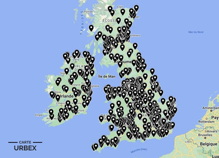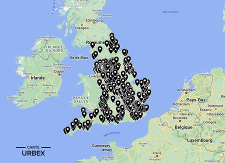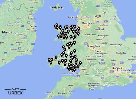


Norwich is one of England's most historically complete medieval cities — 31 surviving medieval churches, a Norman castle, and the textile wealth of the East Anglian wool trade reflected in its flint-built architecture. Its abandoned places range from WWII coastal defenses on the Norfolk shoreline to Victorian textile mills on the River Wensum. Here are 5 of the best abandoned places in Norwich, selected from our Abandoned Places Map UK — 640+ GPS locations across England, Scotland, Wales, and Ireland.
Why Norwich Is a Hidden Gem for Urban Exploration
Norfolk had more WWII airfields per square mile than any other English county — the flat landscape and proximity to occupied Europe made it the primary base for RAF Bomber Command and the US Eighth Air Force. Combined with Norwich's medieval ecclesiastical ruins and the Victorian industrial heritage of the Wensum valley, this gives the city an unusually varied urbex landscape stretching from the city center out to the Norfolk coast.
1. Corton Longshore Battery – Corton, Suffolk — WWII Coastal Defence, Gun Emplacements and Observation Posts Still Standing Above the North Sea (Known Location)
Corton Longshore Battery near Lowestoft was built during WWII to defend the East Anglian coast against German naval attack — gun emplacements, observation posts, and concrete bunker infrastructure overlooking the North Sea. Much of the structure remains abandoned on the coastal clifftop. The North Sea coast between Cromer and Felixstowe was among the most defended stretches of coastline in wartime Britain; the bunker complexes left behind are among the most atmospheric WWII heritage sites in East Anglia.
🔗 Learn more: Wikipedia – Corton Suffolk
2. St James Mill – Norwich — 1836 Yarn Mill on the River Wensum, Oldest Surviving Mill in Norwich, Grade II* Listed, Cast-Iron Columns and Waterwheel Pit Still Intact (Known Location)
St James Mill on the River Wensum is the oldest surviving textile mill in Norwich — an 1836 yarn-spinning mill whose cast-iron structural columns, original timber floors, and waterwheel pit are still largely intact. The mill served the Norwich textile industry through the Victorian era before the industry's decline left it progressively disused. Grade II* listed, the mill represents the architectural heritage of Norwich's wool and worsted textile trade.
🔗 Also read: Top 5 Abandoned Places in England →

3. Abandoned Norfolk WWII Airfield – 1940s RAF or USAAF Station, Control Tower and Dispersal Hardstandings Still Visible, Perimeter Track Intact, Flat Norfolk Farmland (Exclusively on Our Map)
A 1940s RAF or USAAF bomber airfield in the flat Norfolk farmland — the original control tower still standing above the surrounding fields, the concrete dispersal hardstandings where Lancasters or B-17s were parked still visible in the agricultural landscape, and the perimeter track still traceable around the full circuit. Norfolk had more WWII airfields per square mile than any other English county. Discover its exact location on our England Urbex Map.
4. Abandoned Norwich Victorian Hospital Wing – 1880s-1900s Nightingale Ward Block, Iron Bedstead Frames Still In Situ, Nurses' Station with Period Fittings (Our Map Exclusive)
An 1880s-1900s Nightingale-plan hospital ward block in Norwich — the long ward with high clerestory windows still largely intact, iron bedstead frames still standing in rows, and the nurses' station with its original mahogany fittings at the ward entrance. The Nightingale ward design was the dominant hospital layout from the 1860s through the early 20th century; when modern nursing made open wards obsolete, the original buildings were progressively vacated. GPS coordinates available with our England Urbex Map.
5. Abandoned Norfolk Georgian Farmhouse – 18th-Century Flint and Brick Farmstead, Threshing Barn and Granary on Staddle Stones, Rural North Norfolk (Hidden Gem — Our Map Only)
An 18th-century Norfolk flint and brick farmstead in rural North Norfolk — the original farmhouse with its characteristic Norfolk flint and red brick chequerwork, the threshing barn with its opposing cart doors, and the granary raised on staddle stones. Norfolk's agricultural consolidation emptied smaller farmsteads as larger holdings absorbed the land; the distinctive flint construction preserves them in Norfolk's relatively dry climate. Find it on our map — with access rating and condition report.
❓ FAQ
What is the most famous abandoned place near Norwich?
Corton Longshore Battery — a WWII coastal defense complex near Lowestoft with gun emplacements and bunkers still standing on the North Sea clifftop. One of the most accessible WWII heritage sites on the East Anglian coast.
What is St James Mill Norwich?
The oldest surviving textile mill in Norwich — an 1836 yarn-spinning mill on the River Wensum with original cast-iron columns and waterwheel pit still intact. Grade II* listed.
Why did Norfolk have so many WWII airfields?
Norfolk's flat landscape, proximity to occupied Europe, and freedom from industrial haze made it ideal for bomber operations. RAF Bomber Command and the US Eighth Air Force built over 40 airfields in Norfolk and Suffolk; the county had more operational airfields per square mile than anywhere else in Britain.
Safety Tips
- Coastal erosion: the Norfolk and Suffolk coast erodes rapidly — never approach cliff edges at coastal defense sites and always check recent erosion reports before visiting
- Asbestos: universal in pre-1980 Norfolk hospital and industrial buildings — always wear an FFP2 mask in any enclosed space
- Never explore alone — always bring at least one other person
The urbex code: "Leave it as you found it — the next explorer deserves the same experience."
🎯 Summary
Norwich's abandoned places range from WWII coastal gun emplacements above the North Sea to a Victorian yarn mill on the Wensum with waterwheel pit intact and Norfolk farmsteads built from the distinctive local flint. Each of these 5 derelict buildings in Norwich captures a different layer of a city and county shaped by wool, war, and the sea.

Abandoned Places Map England
- ✓ 400+ GPS locations across England
- ✓ Exclusive locations not found anywhere else
- ✓ Instant access after purchase
- ✓ Free updates forever
14,99€
Explore All Locations →