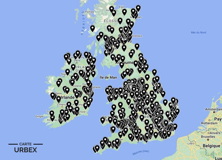
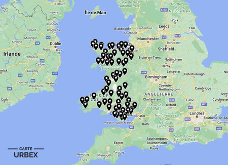
The British Isles has been continuously inhabited for 10,000 years — and has been continuously abandoning settlements for almost as long. The Black Death emptied hundreds of medieval English villages in 1348-1349; the Highland Clearances removed entire glen communities in the 18th and 19th centuries; WWII military requisitioning took villages at 47 days' notice and never returned them to their residents; and a Welsh valley community was flooded to provide drinking water for Birmingham in 1965. These are the most atmospheric and most historically significant abandoned villages in the UK, selected from our Abandoned Places Map UK — 640+ GPS locations.
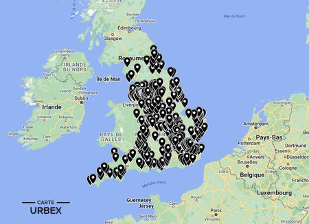
🏴 England – Military Requisition and Coastal Erosion
Imber — Salisbury Plain, Wiltshire
England's most poignant abandoned village — a medieval settlement continuously inhabited for at least 900 years when the War Office gave its 155 residents 47 days' notice to leave in November 1943 for US troop training before D-Day. The residents never returned; the church, farmhouses and pub still stand in atmospheric ruin within Salisbury Plain's military training zone, accessible on specific designated days each year. The combination of the 900-year occupation, the wartime dispossession and the continuing military exclusion make Imber the most emotionally charged abandoned settlement in England. Listed by Historic England.
🔗 Source: Historic England – Imber Village Wiltshire
Tyneham — Purbeck, Dorset
A Dorset village evacuated in December 1943 for military training — its residents given a month's notice and promised return "when the war is won." The promise was never kept; Tyneham's church, school and cottages remain within the Lulworth Ranges as the most completely preserved wartime village in England. The schoolroom with its original desks, the church with its original furnishings and the extraordinary Jurassic Coast setting make Tyneham uniquely atmospheric among England's abandoned wartime settlements. Documented by loveexploring.com as one of England's most moving abandoned villages.
🔗 Source: loveexploring.com – UK's Most Incredible Abandoned Places
Dunwich — Suffolk Coast
Medieval England's sixth largest city — progressively destroyed by North Sea coastal erosion from the 13th century onwards, the sea claiming church after church until today only the ruins of Greyfriars Priory and All Saints' Church remain on the crumbling Suffolk cliff. The medieval city of 3,000 people is now largely beneath the North Sea; on quiet days, local tradition holds that you can hear the church bells of submerged churches ringing below the waves. Documented by Atlas Obscura as one of England's most extraordinary lost places.
🔗 Also read: Top 5 Abandoned Places in England →

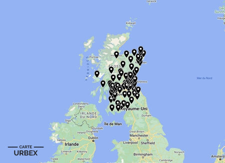
🏴 Scotland – Clearances and Island Evacuation
St Kilda — Outer Hebrides
The most extraordinary abandoned community in the British Isles — a group of islands 40 miles west of the Outer Hebrides that supported a continuous human population for 4,000 years until the 36 remaining inhabitants requested evacuation in 1930. The Village Bay clachan, the stone cleits used to store seabird catches, the church and the school house survive in remarkable atmospheric completeness as a UNESCO World Heritage Site. The isolation — no road, no airport, accessible only by sea — gives St Kilda an atmospheric quality that no mainland abandoned village can approach. Documented by Historic Environment Scotland.
🔗 Source: Historic Environment Scotland – St Kilda World Heritage Site
Crackaig — Mull, Argyll
A Highland Clearance township on the Isle of Mull — roofless blackhouse ruins, lazy-bed cultivation ridges and stone dykes marking the boundary of a community cleared for sheep farming in the 19th century. One of dozens of cleared township sites on Mull alone; the island's settlement history of clearance and depopulation is written in the landscape of roofless ruins scattered across the hillsides above the sea lochs. One of Scotland's most emotionally resonant and most atmospherically complete clearance landscapes, documented as part of ongoing research into Scotland's derelict land heritage.
🔗 Also read: Top 5 Abandoned Places in Scotland →
🏴 Wales – Flooded Valleys and Industrial Ruins
Capel Celyn — Tryweryn Valley, Gwynedd
A Welsh-speaking community of 48 people — flooded in 1965 to create the Llyn Celyn reservoir supplying water to Liverpool and Birmingham, despite the unanimous opposition of every Welsh MP. During droughts the village's ruins — foundations, stone walls, the old road — emerge from the receding water as a haunting reminder of a community that was sacrificed without democratic consent. The phrase "Cofiwch Dryweryn" ("Remember Tryweryn") became a defining expression of Welsh nationalist sentiment; the submerged village is the most politically charged piece of abandoned heritage in Wales. Documented by Coflein.
🔗 Source: Coflein – Capel Celyn Tryweryn Welsh Historic Environment
Porthgain — Pembrokeshire Coast
A former industrial port village on the Pembrokeshire coast — the brick-built hoppers that loaded crushed stone onto ships, the quarry manager's office and the workers' cottages in atmospheric dereliction above the harbour that once shipped Pembrokeshire granite and crushed roadstone across Wales and England. The combination of the dramatic coastal position, the surviving industrial infrastructure and the atmospheric completeness of an industrial village whose economy simply stopped make Porthgain one of the most distinctive pieces of abandoned industrial settlement heritage in Wales. Documented by Cadw.
🔗 Also read: Top 5 Abandoned Places in Wales →
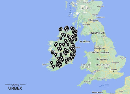
🇮🇪 Ireland – Famine Villages and Atlantic Islands
Slievemore Deserted Village — Achill Island, Co Mayo
The most atmospheric famine-era abandoned village in Ireland — a 100-house settlement on the slopes of Slievemore mountain on Achill Island, emptied during the Great Famine of 1845-1852. The stone-built cottages in various states of ruin, the cultivation ridges on the mountain slopes and the Atlantic Ocean visible below create a landscape of famine-era abandonment of extraordinary emotional power. Documented by discover.re as one of Ireland's most accessible and most historically resonant abandoned settlements.
🔗 Also read: Top 5 Abandoned Places in Ireland →
❓ FAQ – Abandoned Villages in the UK
How many deserted medieval villages are there in England?
Estimates suggest between 2,000 and 3,000 deserted medieval villages in England — most emptied by the Black Death of 1348-1349, which killed between a third and half of England's population, or by the enclosure movement of the 15th-16th centuries when landlords converted arable land to sheep pasture. The earthwork remains of house platforms, hollow ways and field systems are visible across the English countryside, particularly in the East Midlands, East Anglia and the Yorkshire Wolds.
What were the Highland Clearances?
A series of forced evictions of Highland and Island communities from their ancestral land from the 18th century through to the late 19th century — landlords who found sheep and deer more profitable than crofting tenants removed entire communities, creating the depopulated Highland landscape of today. The human cost was catastrophic: thousands emigrated to North America, Australia and New Zealand; those who remained were often pushed to marginal coastal land. The abandoned township sites — roofless blackhouses, lazy-beds, stone dykes — are the most emotionally resonant pieces of derelict heritage in Scotland.
Why was Capel Celyn flooded?
Liverpool Corporation received parliamentary approval in 1957 to flood the Tryweryn Valley — despite every Welsh MP voting against the bill. The Capel Celyn community of 48 Welsh speakers was forcibly relocated and the valley flooded in 1965 to create the Llyn Celyn reservoir. The failure of democratic representation — no Welsh constituency voted for the bill — made Tryweryn a defining moment in Welsh nationalist history. The slogan "Cofiwch Dryweryn" is still painted on walls across Wales.
Why did St Kilda's population leave?
The 36 remaining St Kildans signed a petition requesting evacuation in 1930 — the combination of declining population (from 180 in 1851 to 36 in 1930), the loss of young men in WWI, the increasing availability of mainland goods and the collapse of the traditional economy of seabirds, tweed and feathers made continued occupation impossible. The community that had survived on the world's most remote inhabited islands for 4,000 years was finally broken not by a single catastrophe but by the slow economic logic of the 20th century.
Safety – Abandoned Villages UK
- Military zones: Imber and Tyneham are within active military training areas — visit only on designated open days and never stray from marked paths; unexploded ordnance is present on Salisbury Plain
- Coastal erosion: Dunwich cliff is actively eroding — never approach the cliff edge and stay well back from any ground showing signs of undercutting
- Remote island access: St Kilda and other island settlements require boat access — always check weather conditions and never attempt to visit in poor sea state
- Never explore alone
The urbex code: "Respect the decay. It tells the story."
🎯 Summary – Best Abandoned Villages in the UK
From Imber's 47-days' notice and Tyneham's broken wartime promise to St Kilda's 4,000-year occupation and Capel Celyn's democratic dispossession, the UK's abandoned villages and ghost towns carry the most personal and politically charged dereliction in the entire abandoned landscape. Every site in this guide is GPS-mapped in our UK collection.

Abandoned Places Map UK
- ✓ 640+ GPS locations — England, Scotland, Wales & Ireland
- ✓ Abandoned villages, ghost towns, military sites & more
- ✓ Instant access after purchase
- ✓ Free updates forever
£19.99
Explore All 640+ Locations →